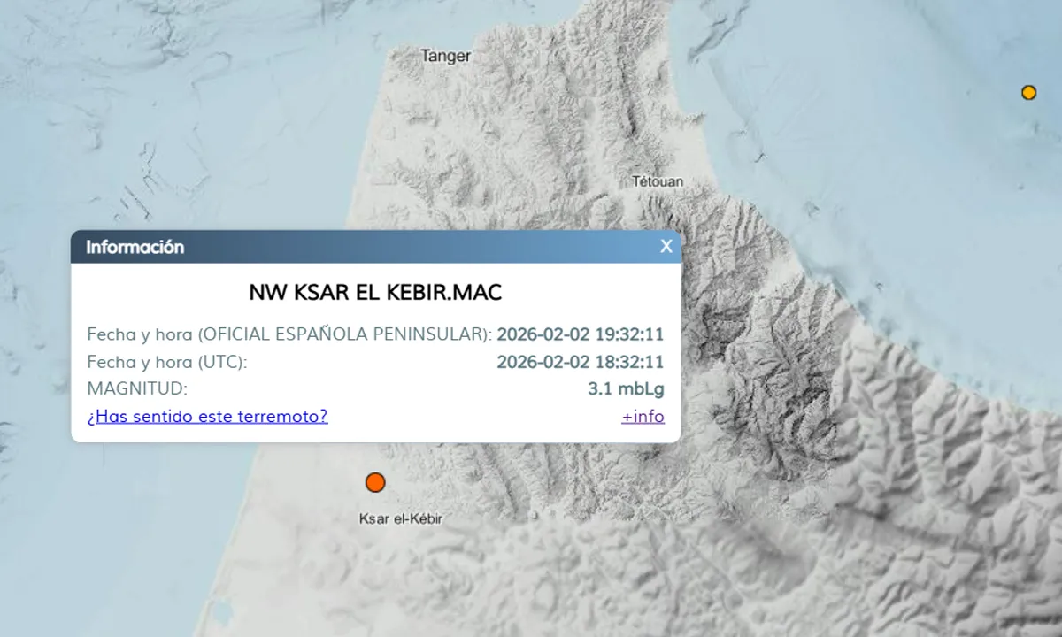

The Gulf states are experiencing an unprecedented weather wave, with a very cold air mass of polar origin entering the territories of the Kingdom of Saudi Arabia, after directly affecting the Levant during the past hours, according to the Arab Center for Climate.
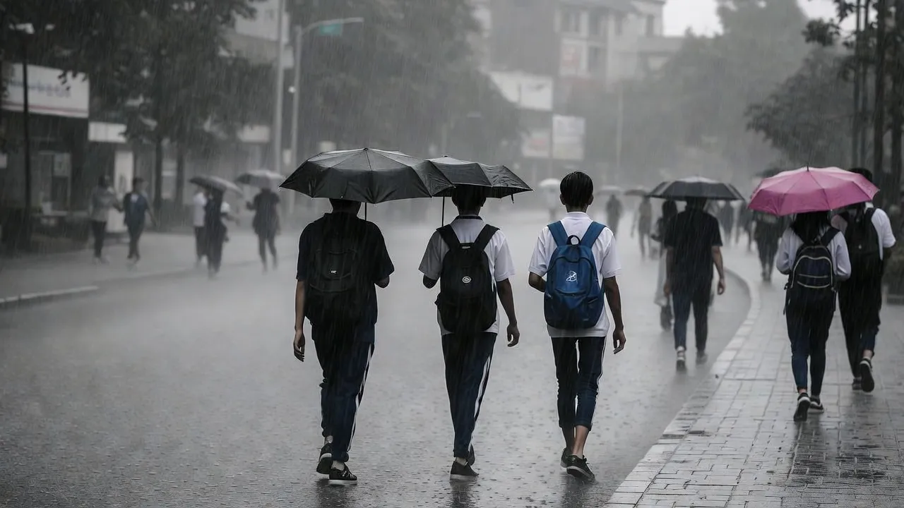
The significant surface cooling and sharp drop in temperatures have led to heavy rainfall over wide areas of northern and central Saudi Arabia, accompanied by hail showers, in addition to the rare snowfall recorded in some areas, in an exceptional atmospheric scene for these regions.
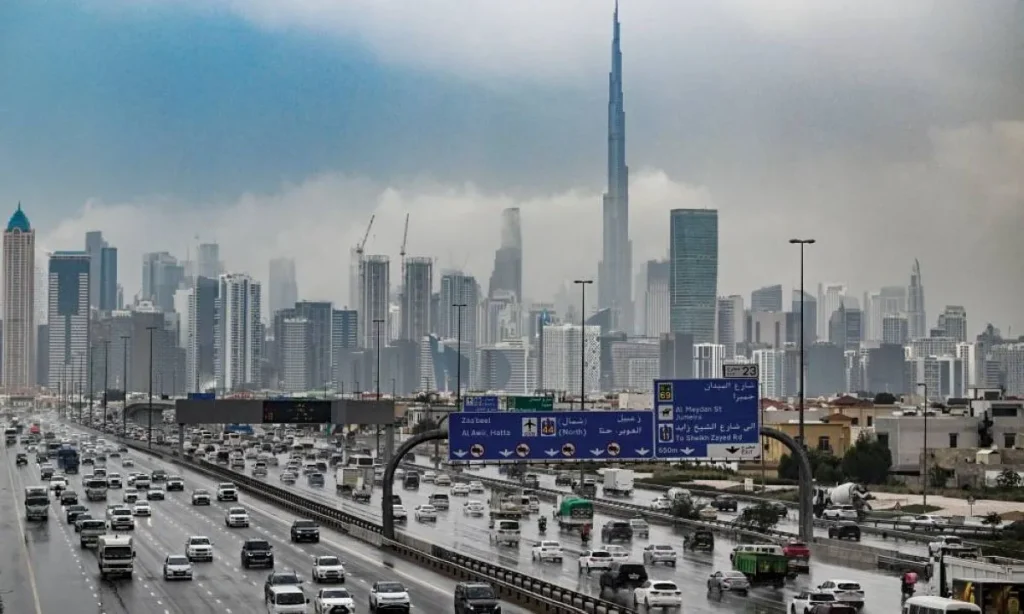
Forecasts indicate the continued deepening of the polar air mass over the coming hours, covering Kuwait, eastern Saudi Arabia, and southern Iraq, in addition to Qatar, Bahrain, and the United Arab Emirates. This deepening is expected to result in a significant increase in the intensity of rainfall, with the conditions available for strong convective cloud activity, raising the likelihood of thunderstorms.
Output from global numerical models also shows the potential formation of a deep and stormy low-pressure system over the waters of the Arabian Gulf starting from Thursday night until the morning of Friday, December 19. This may enhance both the intensity and geographical spread of the rainfall, with a high chance of strong thunderstorms occurring.
The Arab Center for Climate has warned of potential risks including the formation of floods and sudden flash floods, severe thunderstorms accompanied by hail showers, and the intensification of downward winds stirring up local dust. Additionally, there may be a reduction in horizontal visibility in some areas.
Follow Tangier7 on GOOGLE NEWS and Facebook. Also on the platform Instagram, in addition to the platform X and Nabd App.