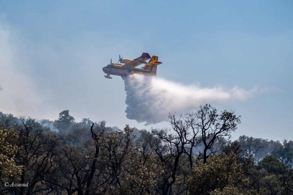

The National Agency for Water and Forests has announced that it will issue prediction maps from August 17 to 20, based on scientific data, detailing sensitive areas at risk of forest fires across the country.
In a press release, the agency explained that after analyzing data related to the type of forest cover and its flammability, as well as weather forecasts and the topographical conditions of various regions, a critical danger level has been identified in the provinces of Chefchaouen, Fahs-Anjra, Tangier-Assilah, Tetouan, and Taza. Additionally, a high danger level has been recorded in the provinces of Al Hoceima, Larache, Ouazzan, Tetouan, Ifrane, and Taounate.
The agency also noted a medium danger level in the provinces of Berkane, Driouch, Nador, Oujda-Angad, Sefrou, Rabat, Salé, Skhirat-Témara, Azilal, Beni Mellal, Khénifra, Essaouira, and Agadir-Ida Ou Tanane.
The agency urged residents near forest areas, workers, and visitors to exercise caution, avoid activities that may lead to fire outbreaks, and promptly report any smoke or suspicious behavior to local authorities.
Source